Utility Networks
Nexus Utility — Utility Network GIS
"Centralise, visualize, and manage every utility network from one map-based platform."
Water · Sewerage · ElectricityField Mobile AppDefect ManagementHydraulic Simulation
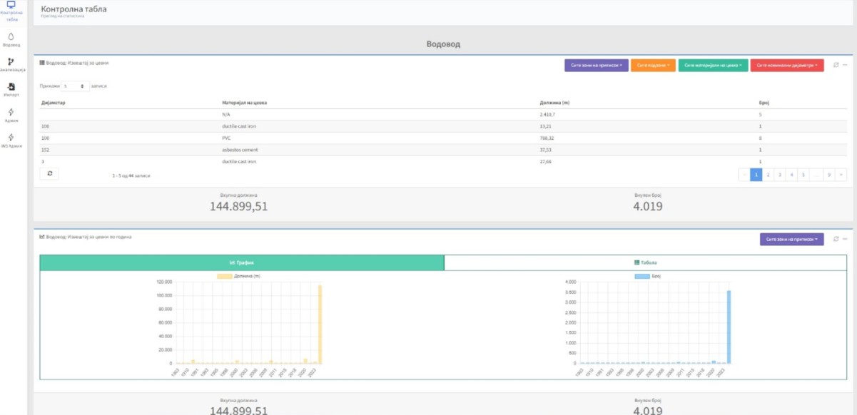
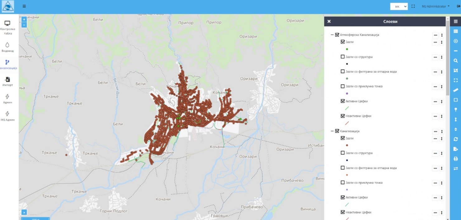
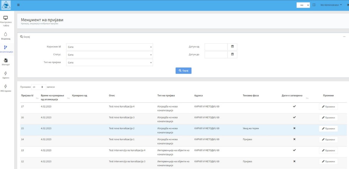
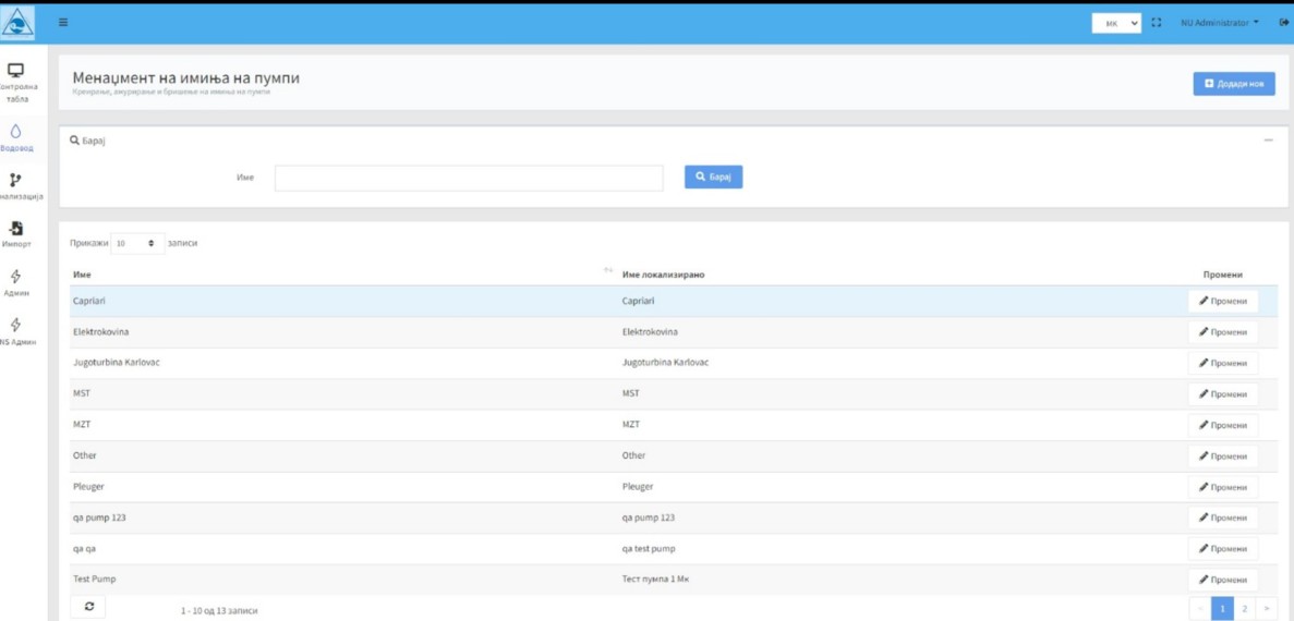
Nexus Utility is a modern Web GIS platform designed for the digital management of utility infrastructure networks — water supply, sewerage, stormwater, electricity, oil, and gas. It helps public utility companies and institutions centralise infrastructure data, visualise assets on an interactive map, manage defects, coordinate field teams, and improve decision-making through spatial analysis, reporting, and real-time field data collection. Built on a service-oriented architecture, the platform integrates with external registries, monitoring systems, and operational platforms to support full-scale digital transformation of utility operations.
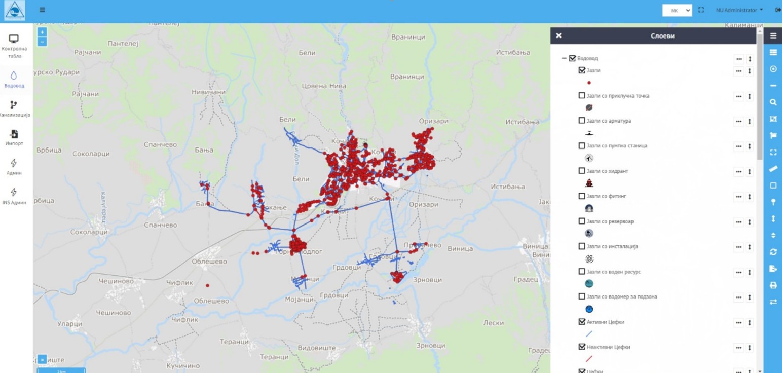
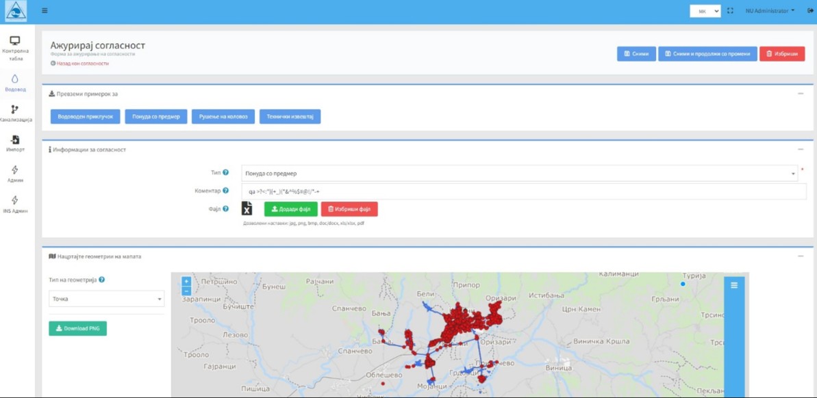
Multi-layer digital map of all utility infrastructure — pipes, valves, pumps, meters, hydrants, and reservoirs — with filters by infrastructure type, settlement, pipe profile, and element status.
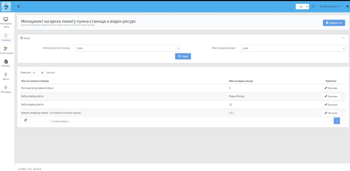
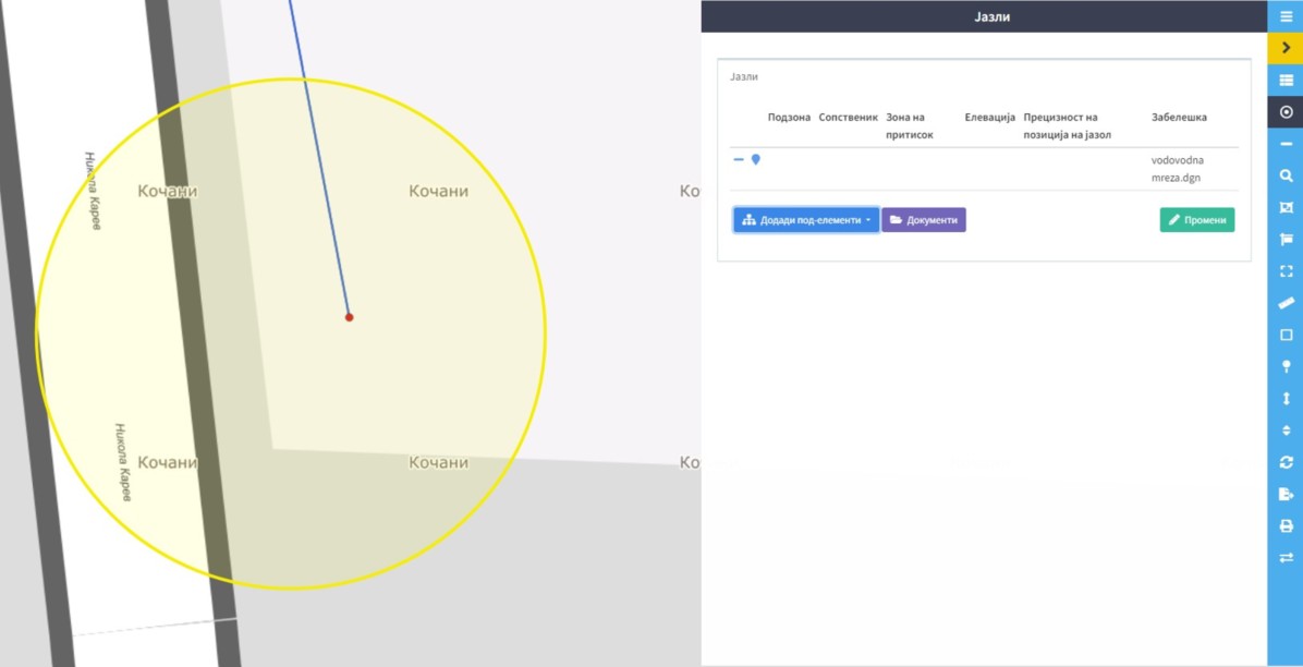
Full CRUD management of utility infrastructure elements and attributes across water supply, sewerage, and other network types — pipes, nodes, pump stations, reservoirs, water resources, and meters.
Web and mobile defect registration with location attachment, repair routing, and cost tracking. Offline-capable mobile app syncs automatically when connectivity is restored. Includes water meter reading.
Advanced simulation of hydraulic behavior, water movement, consumption, losses, energy losses, contamination, fire scenarios, fault simulation, and network resistance testing.
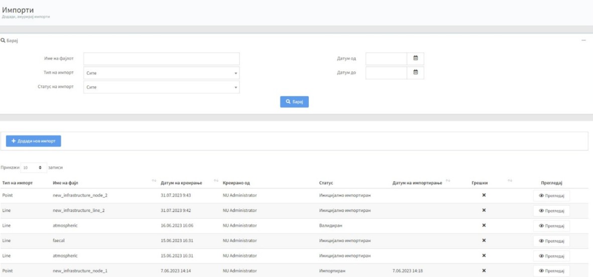
Import point and line infrastructure data with topological error checking. Import address registers to simplify end-user, meter, and address record management and updates.
Optional citizen-facing portal for transparency and utility communication. Service-oriented architecture enables integration with external registries, monitoring systems, and operational platforms.
We'll walk you through the platform with real-world scenarios matching your use case. Our team typically responds within one business day.