Nexus GIS — Municipal GIS Platform — INS
06
Municipal GIS

Nexus GIS — Municipal GIS Platform

"Spatial intelligence for authorities — from urbanism to green cadaster."
UrbanismMobile PWACitizen Portal
At a glance
Category
Municipal GIS
Tiers
Standard · Advanced · Premium · Governmental
Deployment
SaaS · On-premise · Governmental
Request details
Nexus GIS platform
Platform overview
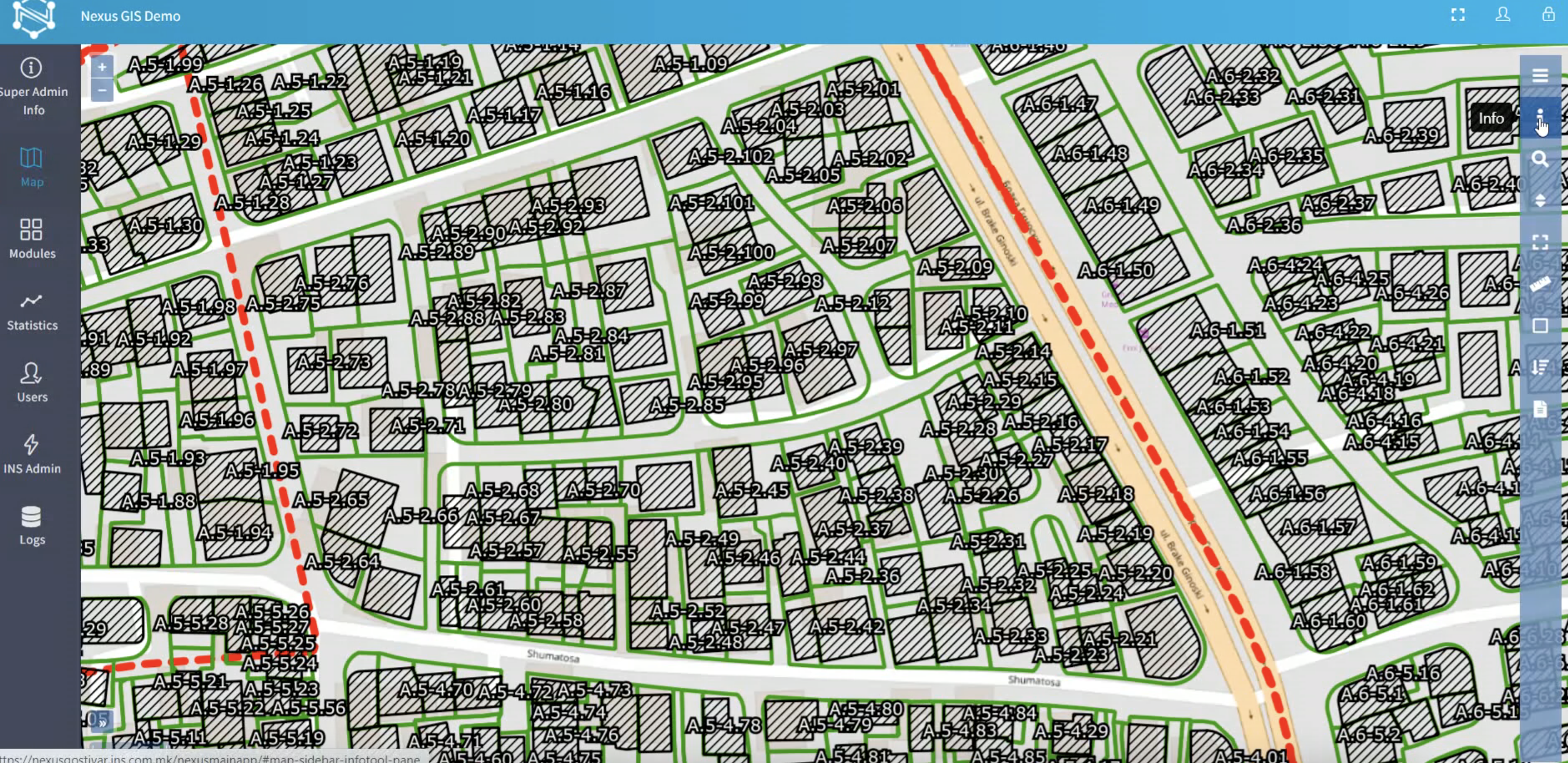
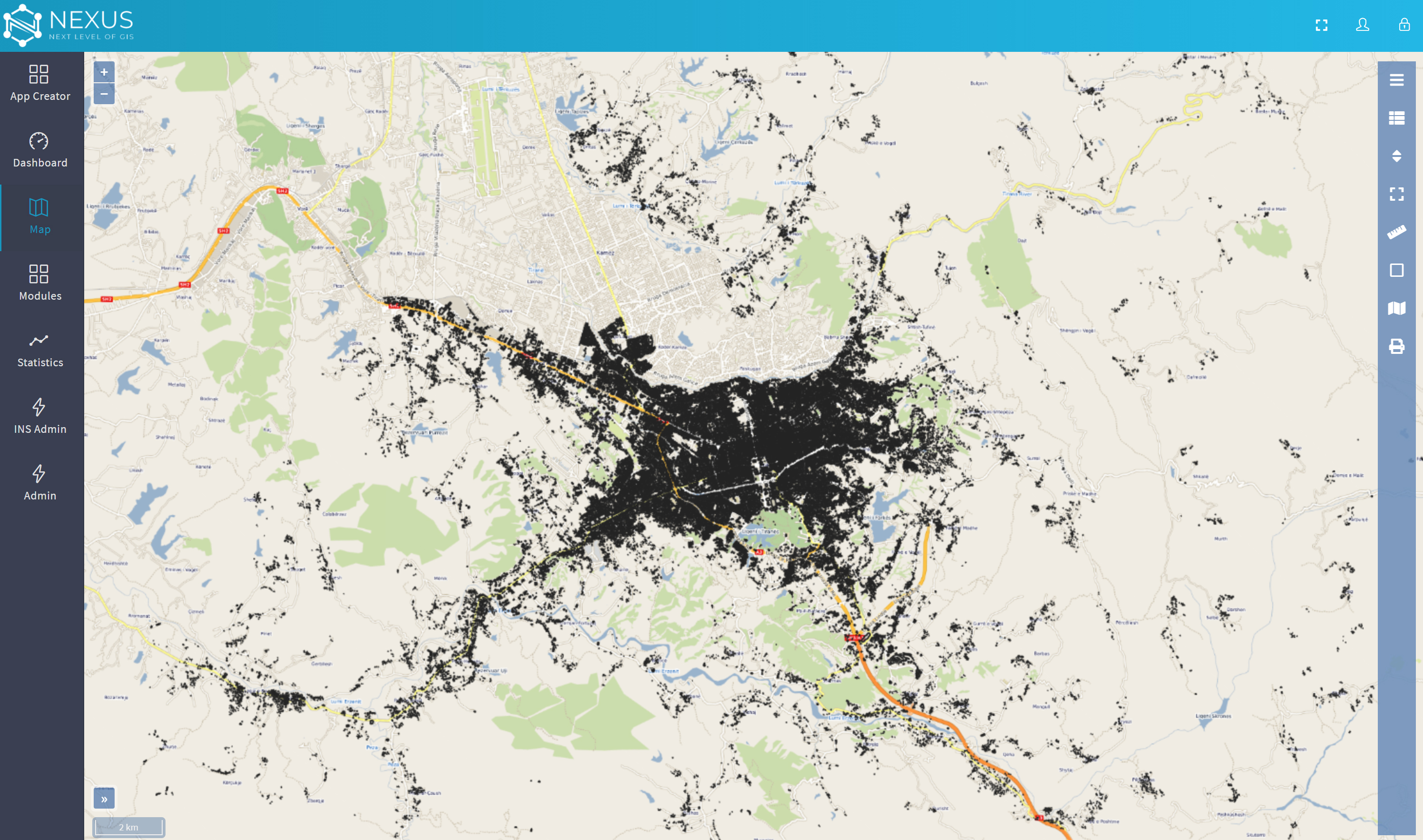
Map visualisation
Business entities
Spatial analysis

What it does.

Nexus GIS is a cloud-based municipal GIS platform purpose-built for local government authorities. It transforms urban spatial data into actionable intelligence — enabling municipalities to manage urbanism, spatial planning, construction permits, green cadaster, business entity registries, and citizen-facing portals from a single integrated platform.
MUNICIPAL GIS PLATFORM RES COM IND GREEN MIXED PERMIT MAP LAYERS Cadastral Data Permits & Zoning Green Cadaster Business Registry Urban Furniture Infrastructure ACTIVE PERMIT BP-2024-00847 Under Review · Zone COM CITIZEN PORTAL Online applications · Status tracking · Public data layers PUBLIC
Core capabilities

What's inside.

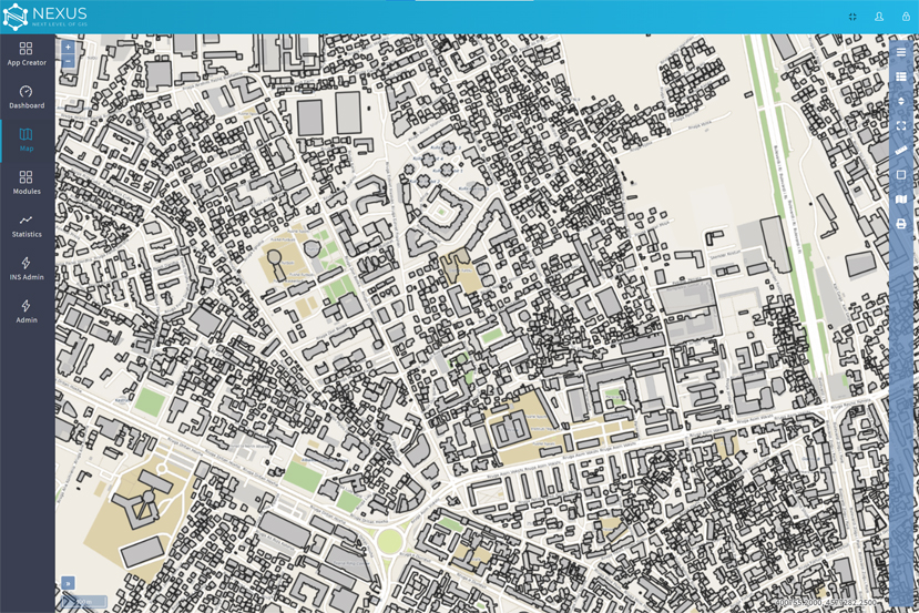
Interactive Map Viewer
Multi-layer web GIS client with standard navigation, measurement, and query tools — no desktop GIS software required for any user.
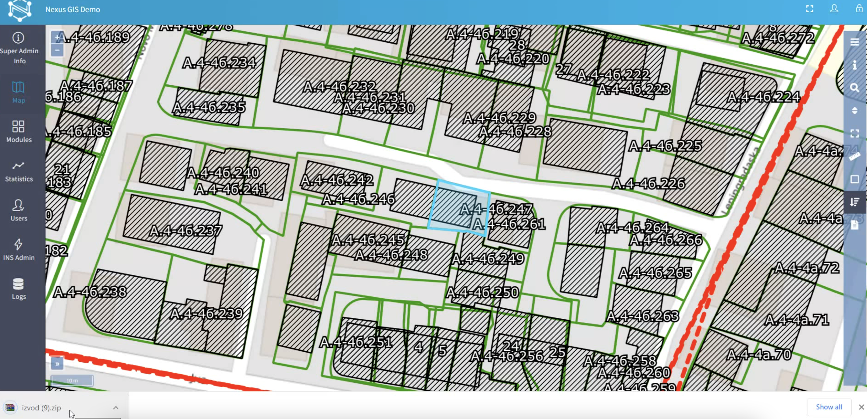
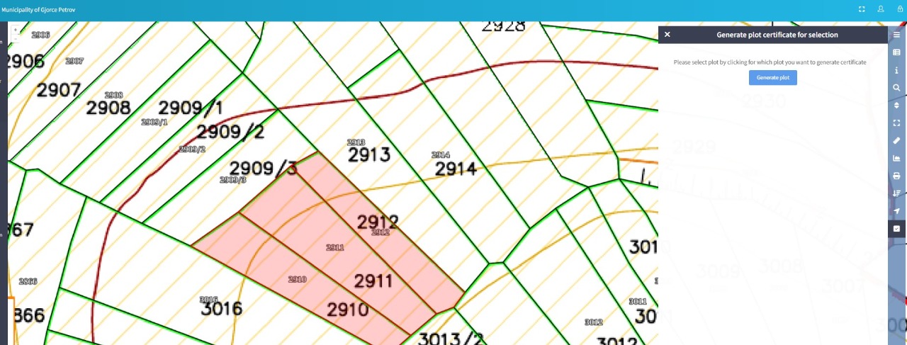
Cadastral Parcel Excerpts
Generate official cadastral parcel excerpts directly from the platform with automated AREC integration and digital signature support.
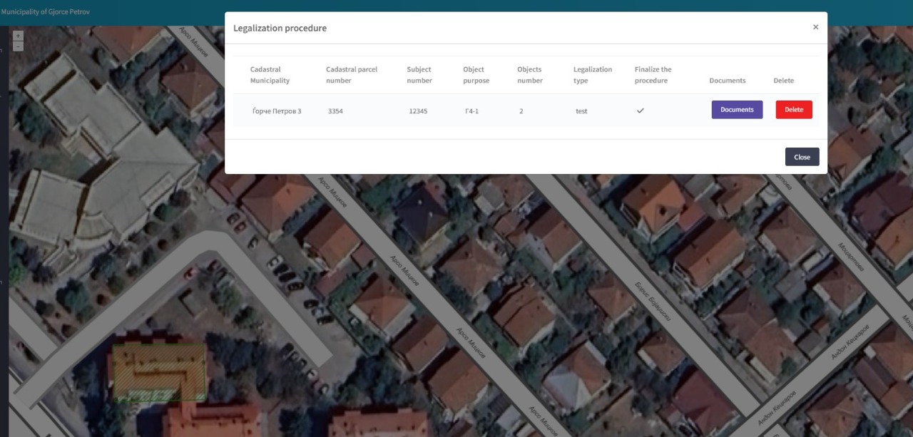
Illegal Construction Legalization
End-to-end case management for illegal structure regularisation — spatial identification, document collection, status tracking, and decision workflows.
Business Entities Registry
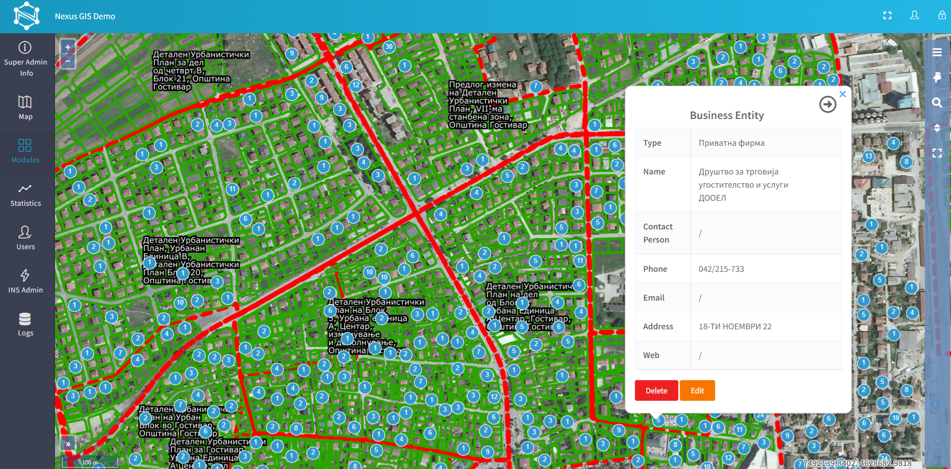
Business Entities & Points of Interest
Spatially indexed registry of businesses, facilities, and municipal points of interest — searchable, filterable, and linked to parcel records.
Business Entity Detail
Entity Detail & Attribute Management
Full attribute editing for each spatial object — supporting custom fields, document attachments, and audit history per record.
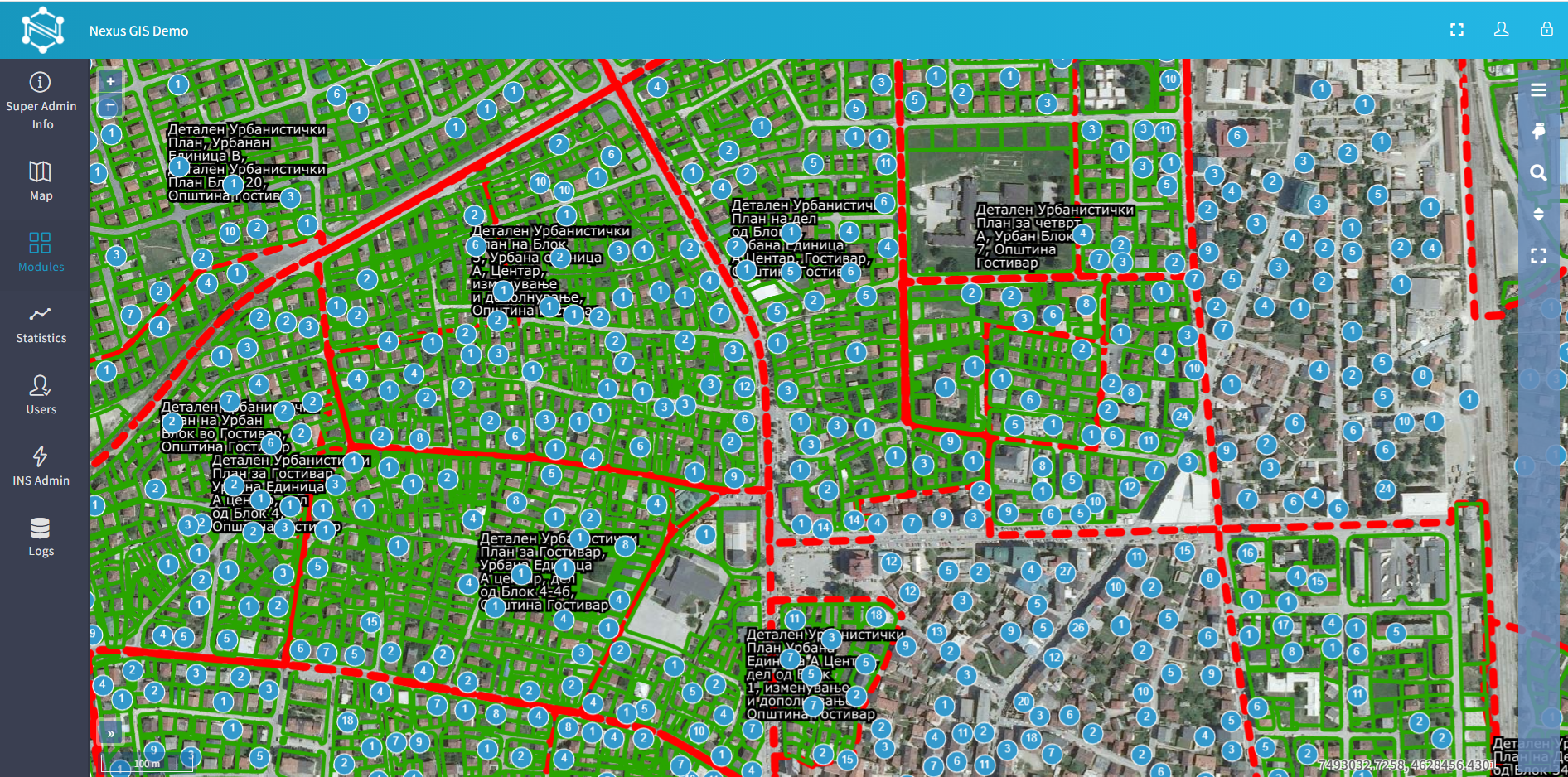
Map Overlay & Layer Management
Configurable layer stack combining cadastral, zoning, infrastructure, green cadaster, and permit layers with per-user visibility controls.
Spatial Analysis
Spatial Analysis
Buffer analysis, intersection queries, proximity searches, and zone compliance checks — built into the platform with no scripting required.
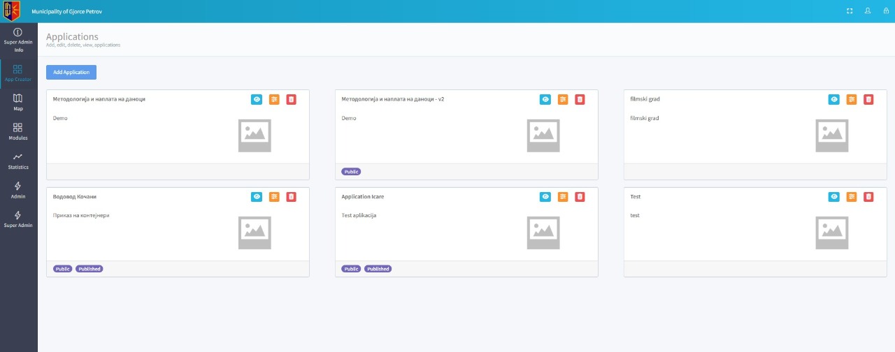
App Creator
App Creator
Low-code tool for building custom GIS-powered mini-applications — configure forms, map layers, and workflows for specific municipal use cases without development.
Platform strengths

Construction Permit Case Management

Spatially aware permit workflows covering application intake, automated rule checking, RBAC approvals, and statutory notifications.

Public Citizen Portal

Public-facing web GIS for citizens to view urbanism data, track permit status, submit applications online, and access spatial planning documents.

Modules

What you get.

01
Spatial Data Management

Centralised geodatabase for all municipal layers — parcels, streets, infrastructure, zoning, and administrative boundaries.

02
Interactive Map Viewer & Editor

Web-based GIS client for data viewing, editing, and query — no desktop software required for field or office users.

03
Cadastre & Land Register

Parcel-level management of ownership, valuation, land use classification, and transaction history.

04
Urban Planning Layer

Zoning plans, detailed urban plans, and development constraints overlaid on the cadastral fabric.

05
Mobile Field Data Collection

Offline-capable mobile app for surveyors and inspectors to capture, edit, and synchronise spatial data in the field.

06
Public Transparency Portal

Citizen-facing map portal for land information, permit status, planning documents, and spatial data downloads.

Who it's for

Target audiences.

Municipal urban planning & spatial planning departments
Local governments deploying citizen GIS portals
Municipal inspection, tax & green space offices
National-scale / multi-municipality programmes
Ministries needing bespoke modules
See it live

See Nexus GIS
in your environment.

We'll walk you through the platform with real-world scenarios matching your use case. Our team typically responds within one business day.

Request a demo Get technical specs
Real-world scenarios matching your use case
No commitment required
Response within 1 business day
Sandbox access available
← Previous
Nexus Optimo
Next →
Nexus Utility